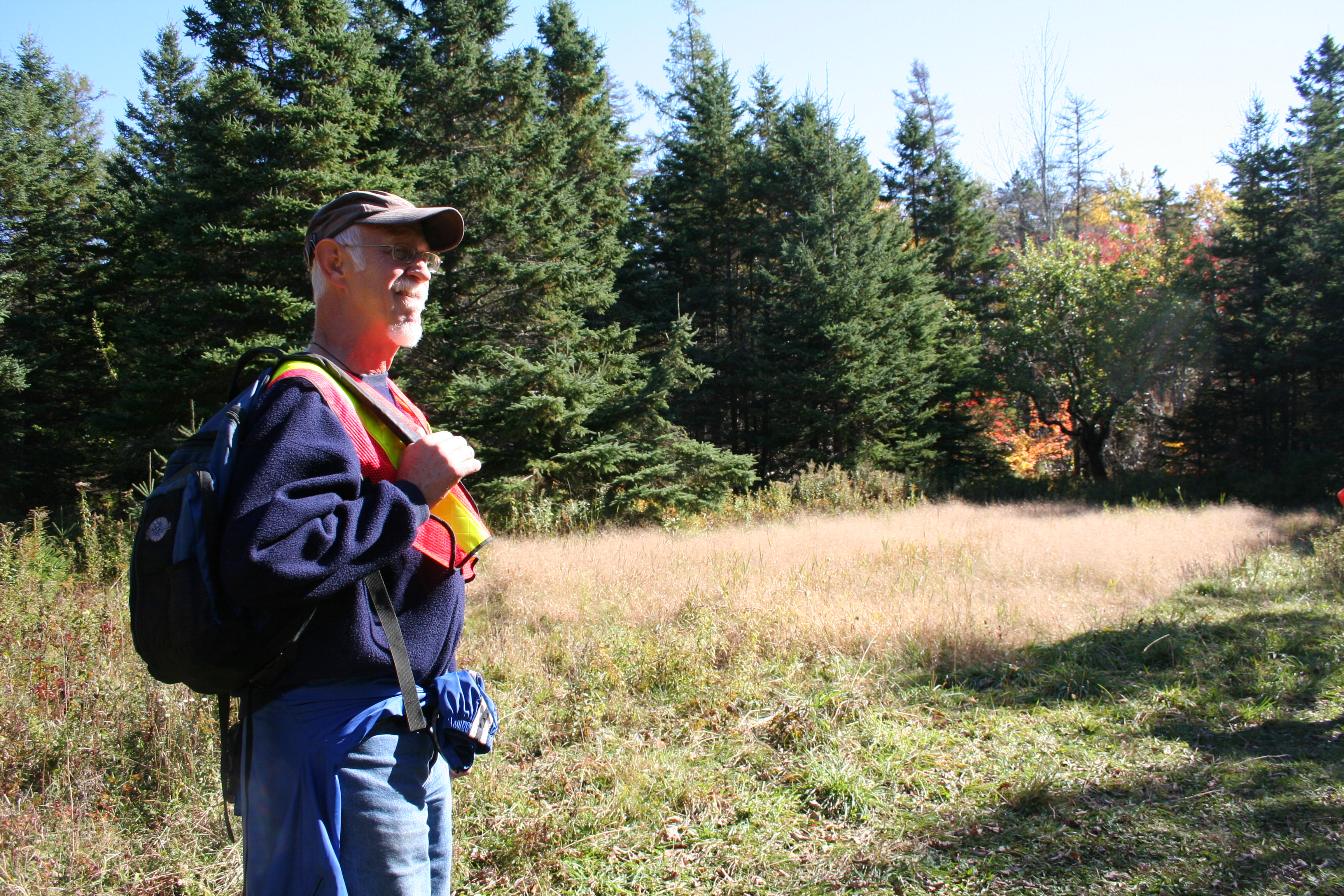
![Bob_Maher_B[1]](http://www.gogeomatics.ca/wp-content/uploads/Bob_Maher_B1.jpg)
In Nova Scotia in 2000, we formed the Applied Geomatics Research Group (AGRG) at the Nova Scotia Community College. The name reflected our desire to apply a variety of technologies to interesting environmental issues. The technologies included GIS, Remote Sensing and GPS. We talked about the need to embed these technologies within the broader context of Information and Communications Technology (ICT). Part of the name selection was to show affinity with our colleagues in Geomatics Engineering, not forgetting that we had earlier evolved from the Nova Scotia Land Survey Institute to the College of Geographic Sciences.
Fast forward to 2011 We had embraced LiDAR technology, as well as established a network of climate stations throughout Southwest Nova Scotia. We were using the same technologies to monitor changes in sea level and the impact of storm surges on our coastal areas. Today, we see a number of new technologies. From the world of Google, we have digital cameras mounted on backpacks and other mobile platforms. We have entered the world of drones (UAV), whether for the delivery of packages or the collection of imagery. Besides the in-situ sensors, we have mobile kites that can monitor the movement of organisms within the oceans. We can use ground penetrating radar and GPS-guided magnetometers to develop a three dimensional map of Stonehenge (Smithsonian, September 2014).
The application of these new sensor systems impacts the expectation of the public, especially for GIS or mapping technology. They want walking tours of vineyards available on their mobile device. They expect web sites to offer directions and current information about the availability of fresh farm products. They envisage access to the location and day of catch of the lobster served in their favorite restaurant.
With these advances in data collection systems, there is pressure on government agencies to provide base map information in an open and easily accessible format. There is pressure on our educational institutions to discuss sample design, registration of different data sets, errors and locational accuracy. With the advances in public access to different spatial databases, there is a need for customization of these systems for different screen size and different levels of functionality.
The learning opportunity for the Geomatics technologist or Applied Geographer is to gain exposure to the full workflow: from problem definition, technical questions about instrumentation, spatial database design, data processing and analysis, to customization of the user interface for the consumer market. For the individual educational institution, this rapid change in technologies represents a huge challenge (and thus opportunity). It can only be addressed by direct collaboration with the suppliers of the different technologies. By testing and applying these tools, we can determine the limitations, their suitability for certain applications. By engaging students in a team environment, we can develop the next generation of informed Geomatics technologists or Geographic Scientists (which term they prefer, will likely be a reflection of their earlier education). Either way, they should embrace the opportunity to work in a profession that combines spatial thinking, on the ground fieldwork, and access to a growing range of location-enabled, digital technologies.


Be the first to comment