
The geospatial community has been “abuzz” since a game called called “Pokémon Go” landed on cell phones in Australia and New Zealand. Yesterday the game became available in Canada for download on the Google Play Store.
Being tremendously fortunate, I have no boss to tell me playing Pokémon Go is not, in fact, real geomatics work. So I like millions of others have downloaded the app and begun to play. You will recognize players in your neighborhood as we have our heads down looking at our phones and seem to be swiping madly at our screens.
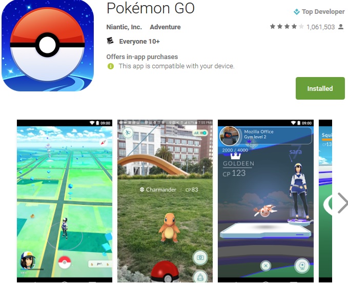
This is a game that uses geomatics to bridge the real world with the digital world. The game play is centered around finding cute cuddly creatures called Pokémon by walking around using your cell phone like a sensor to spot them. Once you find and trap these creatures you can train them to fight other cuddly Pokémon creatures. Doesn’t that sound awesome!
The geomatics on your phone, the GPS and the GIS software with stylized base maps in the Pokémon App, mesh these digital creatures into an augmented reality of our world. Once you’ve used the maps and GPS to track your Jigglypuff  (see it’s ultimate cuteness) an image of the Pokémon will appear before you on the phone.
The Pokémon Go app uses your camera to display an image of the Pokémon in order to allow you to catch it.
It’s the way that this game uses a combination of GIS and GPS to create a new augmented world that has generated so much excitement in the geomatics community.
In Pokémon Go it is the players location in the real world that is essential. Why where matters is essential because the game board is the real world.
The game uses your phone’s GPS to track where you are, and makes use of a stylized Google Maps for reference. Some other data layers are used to help promulgate Pokémon creatures in appropriate settings. For instance players will tend to find water based creatures near lakes and rivers. Your character moves in the game as you walk around in real life, and events and objects, called PokéStops, are associated with physical locations. So in order to play you need to actually walk around in the real world.
This game really showcases what is possible when location technology, Big Data, personal computing devices, and social media come together. There are aspects of sharing and collaborative play in the game system.
To really come to terms with the importance of the use of geomatics for this game this article is helpful:
Nintendo market value doubles on Pokémon Go mania
Below are some other articles I have found particularly interesting that have come out in the last few days. I don’t think all of the ramifications of this game have been felt yet. I look forward to seeing how geomatics becomes even further integrated into our leisure activities as well as our work.
Why You Should Care About Pokémon Go
Hugh Stimson describes sharing his Pokémon Go experience with his four-year-old daughter in Vancouver. Hugh also describes some of the geomatics theory and history of the application including links to the work of Dr. Renee Sieber of the McGill geography department.
Pokémon Go brings location-based gaming to the masses
Anthony Wallace on the Spatial Source website has a great description of what the game is and why it is so appealing to the masses. As well he references a number of other interesting articles.


Be the first to comment